Our Walking Holidays
+
Centre-Based
+
Italian Dolomites
Swiss Alps
Austrian Alps
Tuscany Hillwalking
Via Ferrata – Dolomites
Hut-to-Hut
+
Grand Tour of the Alta Badia
Dolomites Grand Tour – Taster
Alta Via 1 – Southern Route
Alta Via 2
Sella Grand Tour
The Brenta Dolomites
Pale di San Martino
Cortina to Tre Cime
The Fassa Dolomites
Village-to-Village
+
Douro Valley & Vineyards
Highlights of Northern Portugal
Kitzbuhel to Cortina
The Via Engiadina
The Via Alpina
The Aletsch Glacier
Corsica – Mountains & Mediterranean
Basque Country Hillwalking
Collioure to Cadaqués
Discover the Pyrenees
Camino de Santiago
The Atlantic Coast of Portugal
Guided
+
Canyons of the Sierra de Guara
Discover Andalucia
Pyrenean Classics
Pyrenees Peaks & Passes
Hike the GR11
Transylvania’s Carpathian Mountains
Discover the Yorkshire Dales
Our Skiing Holidays
+
Dolomiti Superski
Arabba
Corvara
Sellaronda
Ski Safaris
Private Ski Safaris
Discover
+
Discover
+
Holiday Types
+
Centre-Based Walking Holidays
Centre-Based Skiing Holidays
Village-to-Village Walking Holidays
Hut-to-Hut Walking Holidays
Holiday Styles
+
Guided Walking Holidays
Self-Guided Walking Holidays
Destination Guides
+
Swiss Alps
Italian Dolomites
Austrian Alps
Holidays by Country
+
Walking & Ski Holidays in Italy
Walking Holidays in Switzerland
Walking Holidays in Austria
Walking Holidays in Portugal
Walking Holidays in Spain
Walking Holidays in France
Walking Holiday in the UK
About Us
Journal
Find a Holiday
Contact us
Guest Login
colletts-logo-2020-white
Our Walking Holidays
Centre-Based
Italian Dolomites
Swiss Alps
Austrian Alps
Tuscany Hillwalking
Via Ferrata – Dolomites
Hut-to-Hut
Grand Tour of the Alta Badia
Dolomites Grand Tour – Taster
Alta Via 1 – Southern Route
Alta Via 2
Sella Grand Tour
The Brenta Dolomites
Pale di San Martino
Cortina to Tre Cime
The Fassa Dolomites
Village-to-Village
Douro Valley & Vineyards
Highlights of Northern Portugal
Kitzbuhel to Cortina
The Via Engiadina
The Via Alpina
The Aletsch Glacier
Corsica – Mountains & Mediterranean
Basque Country Hillwalking
Collioure to Cadaqués
Discover the Pyrenees
Camino de Santiago
The Atlantic Coast of Portugal
Guided
Canyons of the Sierra de Guara
Discover Andalucia
Pyrenean Classics
Pyrenees Peaks & Passes
Hike the GR11
Transylvania’s Carpathian Mountains
Discover the Yorkshire Dales
Our Skiing Holidays
Dolomiti Superski
Arabba
Corvara
Sellaronda
Ski Safaris
Private Ski Safaris
Discover
Discover
Holiday Types
Holiday Styles
Destination Guides
Holidays by Country
About Us
Journal
Find a Holiday
Contact us
Guest Login
What
Hut-to-Hut
Village-to-Village
Centre-Based
Coastal
Where
Italy
Spain
Portugal
Switzerland
Austria
France
UK
Romania
When
January
February
March
April
May
June
July
August
September
October
November
December
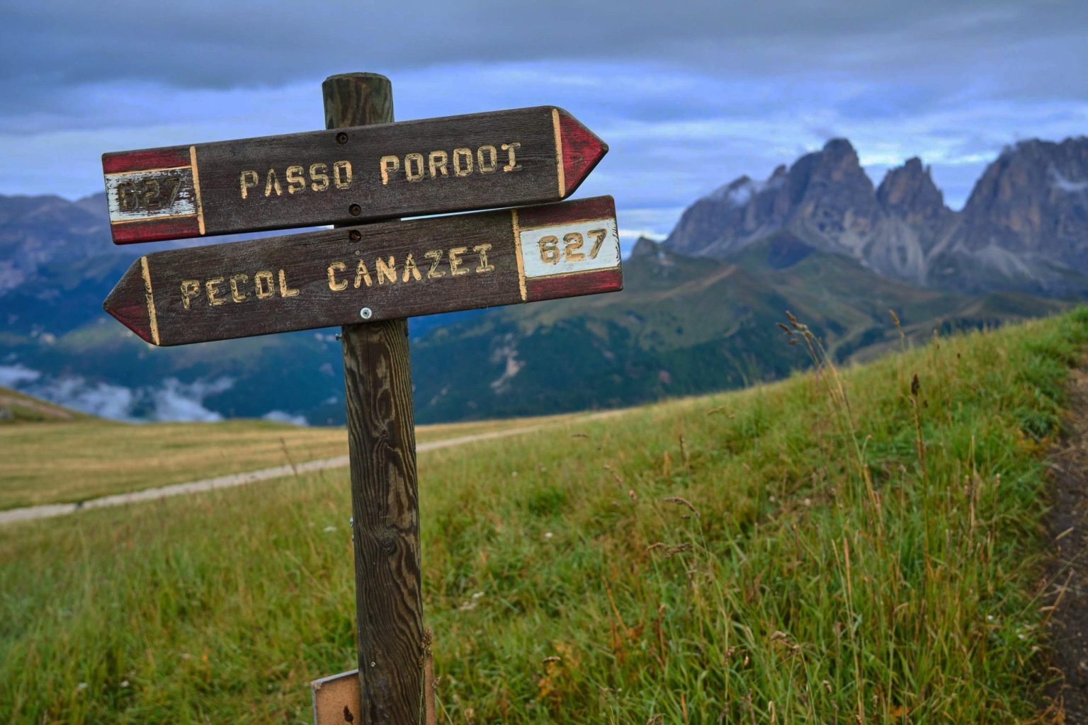
It looks like you're a little lost
What
Hut-to-Hut
Village-to-Village
Centre-Based
Coastal
Where
Italy
Spain
Portugal
Switzerland
Austria
France
UK
Romania
When
January
February
March
April
May
June
July
August
September
October
November
December
Home
/
404
Find your holiday
What
Hut-to-Hut
Village-to-Village
Centre-Based
Coastal
Where
Italy
Spain
Portugal
Switzerland
Austria
France
UK
Romania
When
January
February
March
April
May
June
July
August
September
October
November
December
Find your holiday
We specialise in guided tours so let's get you back on track. Use the menu above or the links below to find what you're looking for.
Holidays
See our huge selection of quality holidays.
Holiday Types
Search our guides and discover something new.
About Us
Learn a little about who we are and what we do.
Contact Us
Any Questions? Speak to someone with extensive knowledge of our walks and destinations.
Holiday Types
Select an option to find out more
Centre-Based Walking Holidays
Centre-Based Skiing Holidays
Village-to-Village Walking Holidays
Hut-to-Hut Walking Holidays
Destination Guides
Select an option to find out more
Swiss Alps
Austrian Alps
Italian Dolomites
Holiday Styles
Select an option to find out more
Guided Walking Holidays
Self-Guided Walking Holidays
Country Guides
Select an option to find out more
Walking & Ski Holidays in Italy
Walking Holidays in Switzerland
Walking Holidays in Austria
Walking Holidays in Portugal
Walking Holidays in Spain
Walking Holidays in France
Walking Holiday in the UK
Walking Holidays in Romania
✕
Join our mailing list
Thank you for joining the Collett's newsletter.